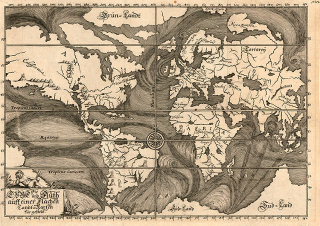
This unusual map of 1685 illustrates ocean currents as understood at the time based on the observations of explorers and mariners. It's from
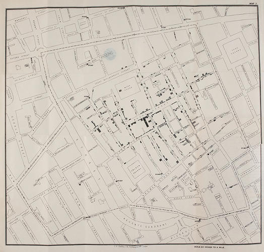
an article about the greatest-ever science illustrations, which includes, of course, the ground-breaking map "On the Mode of Communication of Cholera" by John Snow in 1855 which revolutionized epidemiology (see below). The list includes other items we've posted, including this
mesmerizing ocean currents video.
No comments:
Post a Comment