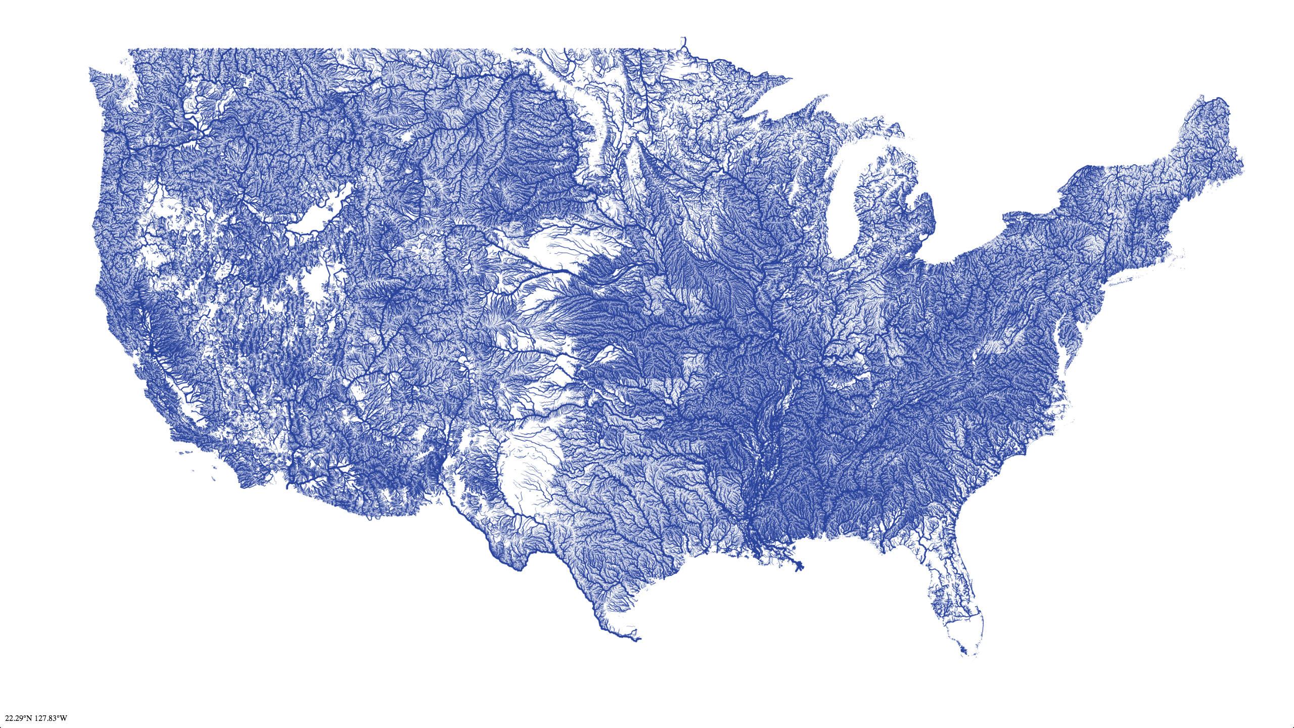
I recognize those empty, dry places there in Texas, Wyoming, and Utah. I already knew that some of the famously desert places west of there weren't as riverless as that. I'm a little bit confused about the riverless southern tip of Florida. My understanding was that, at least originally, that entire area from Lake Okeechobee south through the Everglades was effectively one giant tangle of rivers and streams. Here's it's shown as being as riverless (and by implication as dry) as West Texas. That's either nonsensical or very, very alarming.
No comments:
Post a Comment