Monday, June 30, 2014

Relax (guest post)

Hello! Guest contributor Amanda Murphyao here. I'm putting up cartoons involving the world or globe for the next few Mondays.


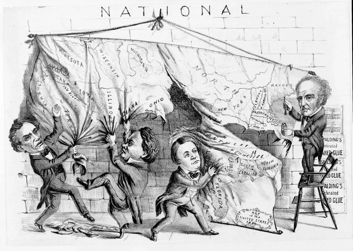
The signature is a bit difficult to make out, but I believe it's:
Jim Borgman - Cincinnati - 1985
From "Target: The Political Cartoon Quarterly"


Sunday, June 29, 2014

Atlantic air traffic

Here's a artfully rendered video by air traffic control service NATS of air traffic over the North Atlantic:
North Atlantic Skies from NATS on Vimeo.

Saturday, June 28, 2014

Presenting the Wondermap

Yesterday's Chicago Gangleand map was in the style of a "Wonder Map". Antiquarian bookseller Elizabeth Burdon writes that the iconic Wonderground Map of the London Underground, created by MacDonald Gill in 1913, influenced map-makers in the United States during the 1920s and 1930s. Burdon calls this type of map a “Wonder Map”: a pictorial production, suffused with whimsy and color, that brings together text and image with a liberal dose of humor. These cartoon “wonder maps” were quick to sell. They weren’t meant to be used for navigation so much as for souvenirs, to be brought home, displayed, and enjoyed.

Clicking on the image below won't make it bigger to see details, but you can explore it extensively at the BBC article about it.

Friday, June 27, 2014

1930's Chicago Gangland

The Newberry Library, Chicago has a cartoon map of Gangland in Chicago from Bruce Roberts in 1931. There are tons of interesting and humorous details. Click to embiggen.

Thursday, June 26, 2014

Warm family

This is another AccordingtoDevin webcomic that involves anthropomorphized planets and destruction.

Wednesday, June 25, 2014

A lesson in Comic Cartography

Amanda also sent in this article from Fine Books Magazine about Comic Cartography
“The plumb pudding in danger.” In 1805 English cartoonist James Gillray lampooned Napoleon (right) and British Prime Minister William Pitt. CREDIT: LIBRARY OF CONGRESS, LC-USZC4-8791.
“The hungry customer.” Canada (left) offers Great Britain a breakfast of hot cereal while Uncle Sam’s smaller serving is politely refused. CREDIT: AUTHOR’S COLLECTION.
“The Rhodes colossus.” As the founder of the De Beers diamond mines, Cecil Rhoades was a great supporter of the British Empire. When he announced plans to build a railway and telegraph line across Africa from Cairo to Cape Town, Punch magazine portrayed him as the great Rhodes colossus. The original colossus guarded the Greek harbor of Rhodes in the 2nd century BC, and at 30 metres, is thought to have been the tallest structure of the ancient world. CREDIT: PUNCH, 10 DECEMBER, 1892.
“I repeat, we see no signs of intelligent life.” In a world gone mad with nuclear weapons that are capable of destroying the world several times over, cartoonists Roy Careless asks how we could ever possibly consider ourselves to be an intelligent form of life. CREDIT: NATIONAL ARCHIVES OF CANADA, C-141801.
In this broadside from 1876, Uncle Sam and his family feed the world using their new Uncle Sam wood stove by Abendroth Brothers. From the red, white and blue fabrics, to the Declaration of Independence on the wall, the image is a celebration of America’s centennial. CREDIT: LIBRARY OF CONGRESS.
“Heal.” Duncan Macpherson would like us to think that President Jimmy Carter (dressed like a country preacher) has some rather unusual methods for improving the world’s problems. The caricature was inspired by the announcement in May 1977 of a new foreign policy for the U.S. CREDIT: LIBRARY AND ARCHIVES CANADA, C-112581.
“The French Invasion, or John Bull, bombarding the Bum-boats.” Gillary’s 1793 caricature has the British Isles, in the form of King George III, blasting a fleet of bumboats into the face of France. At the time, there was some concern that revolutionary France might challenge Britain’s sovereignty. Bumboats were small vessels that ferried supplies to ships moored offshore and their reference by Gillray was obviously meant to underline the British monarch’s contemptuous reaction to the situation. CREDIT: BRITISH MUSEUM.

Tuesday, June 24, 2014

Mapping in Excel

The UX Blog of IDV Solutions shows us how to make maps using just Excel. Some of them are rather impressive:


That same data with way more rows and columns.
A bajillion historic hurricanes.

Over 100 years of earthquakes, AKA the tectonic plates of Earth.

Monday, June 23, 2014

Called it (guest post)

Hello! Guest contributor Amanda Murphyao here. I'm putting up cartoons involving the world or globe for the next few Mondays. (It's almost been a year of Mondays!)

Peter Brookes, "End of the World," August 7, 2011

Sunday, June 22, 2014

Journal of Geography caption contest

Frequent poster Amanda alerts us that the Journal of Geography used to have a cartoon caption contest.  I'm not sure whether they still do that, however here's a few examples from their caption contest run in the '80s.  At least one of them was from Far Side's Gary Larson. I don't know whether that was commissioned by the Journal of Geography for their contest or if they just borrowed one that the'd done.


Friday, June 20, 2014

Tearing us apart

Here's a few cartoons showing various figures tearing apart the map of the United States in the Civil War era.

This first one is almost certainly Thomas Nast:

This second one is definitely not Nast as it shows McClellan in a favorable light, trying to stop Davis and Lincoln from tearing the country apart.  If it's hard to read the speech bubbles here they are:
McClellan: "The Union must be preserved at all hazards!"
Abraham Lincoln: "No peace without abolition."
Jefferson Davis: "No peace without Separation!!"
The true issue or "That's what's the matter"

And finally here we've got a black guy tearing apart the nation:
http://apus2scott.wikispaces.com/file/view/torn%20map.jpg/402480132/320x298/torn%20map.jpg

Tuesday, June 17, 2014

Scott's great snake

Let's stick with the Civil War-era editorial cartoons as a weekly feature for a while.  Here's one that depicts a plan for a 3,500-mile-long Union blockade of Confederate shores and ports as a constricting anaconda.  The "Scott" in the title is Winfield Scott who was the commanding officer of Federal troops at the start of the Civil War.  Lincoln chose a direct attack on Virginia rather than Scott's slower blockade plan, but that resulted in defeat.  By Fall of 1861 Scott resigned and was replaced by McClellan.

Monday, June 16, 2014

Boom! (Guest Post)

Hello! Guest contributor Amanda Murphyao here bringing you a more contemporary globe-related cartoon than my usual:


Via Doghouse Diaries (image links to their page).

Sunday, June 15, 2014

Saturday, June 14, 2014

Friday, June 13, 2014

Niels Bugge Cartoon Award

Last month, 487 artists from 72 countries submitted 1,063 drawings to compete for the Niels Bugge Cartoon Award, an international competition aimed at drawing attention to environmental issues. This year’s theme, “the oceans are in our hands,” focused on climate change. Below are the ones that arguably used a map theme (or at least a globe theme) theme. You can view the rest of the jury selections, and the winners, here.140611_FUT_Comic11
140611_FUT_Comic10


Thursday, June 12, 2014

Subway-bet

Subway maps are a popular design theme. As are fonts. Here's a combination of them by Pauline Detavernier: